Marathon Routes Across Scandinavia
Route design affects pacing. Road surfaces impact fatigue. Coastal winds alter effort levels. Understand the terrain variables found in Nordic marathon courses.
Urban Road Courses
City marathons offer closed asphalt roads. Surfaces are generally smooth and well-maintained. Urban architecture provides wind shelter. Cornering density is high. Frequent 90-degree turns reduce momentum. Expect technical sections near historic downtowns. Tram tracks pose slip hazards in wet conditions. Cobblestones exist in old town sectors. Plan foot strike carefully on irregular stones.
Coastal and Mixed Routes
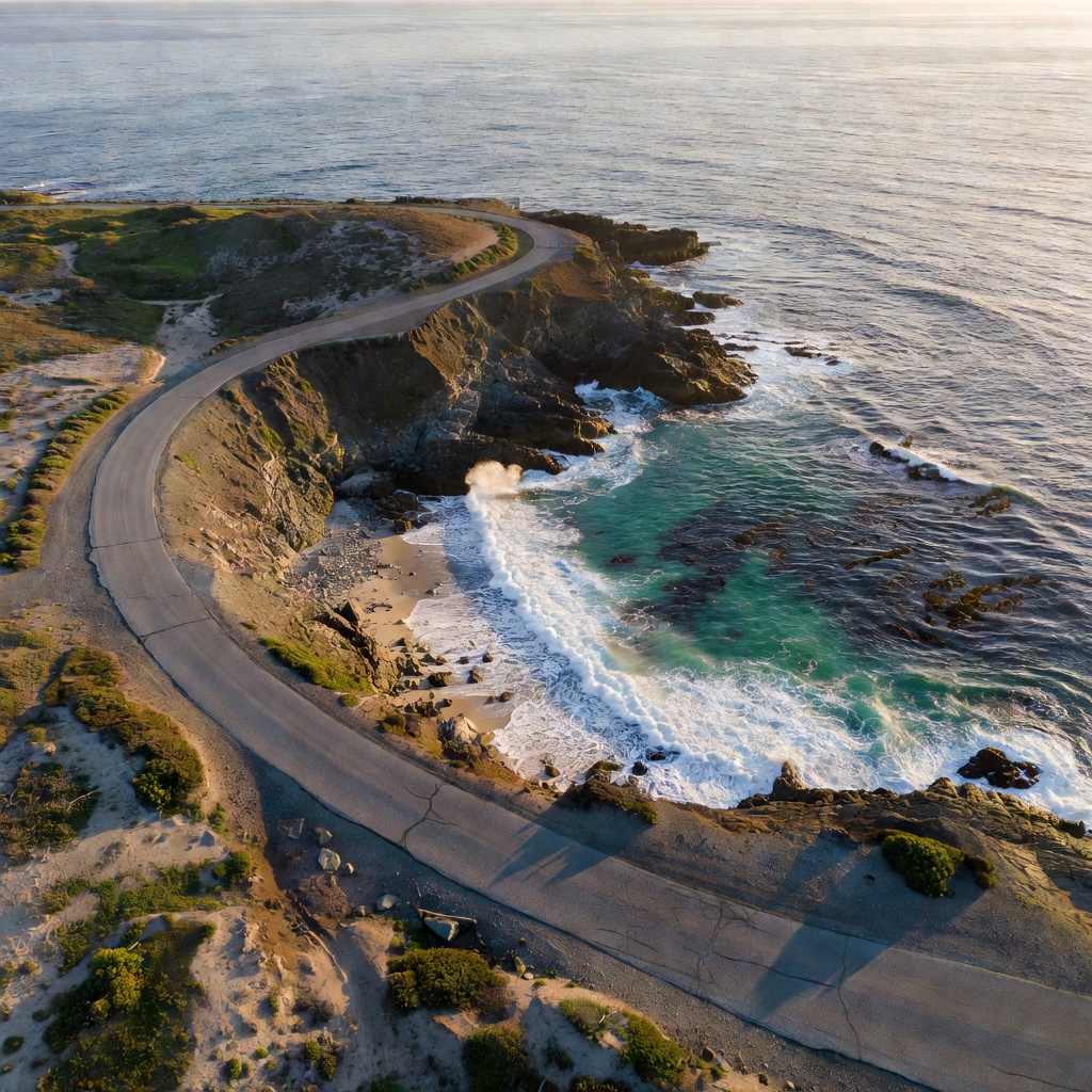
Coastal routes prioritize scenic sightlines. Exposure to elements increases dramatically. Wind off the Baltic or North Sea dictates pace. Crosswinds drain energy. Headwinds slow progress. These routes often feature mixed surfaces. Expect transitions between asphalt, concrete paths, and packed gravel. Gravel reduces energy return. Adjust target paces for non-asphalt sectors.
Elevation Profiles
Scandinavian topographies vary. Danish courses run flat. Total elevation gain rarely exceeds 100 meters. Norwegian courses incorporate significant undulation. Bridges create sharp inclines. Swedish courses balance flat waterfronts with rolling parklands. Study the elevation chart. Note where the major climbs occur. A flat first half followed by a hilly second half requires conservative early pacing.
Terrain Impact Assessment
| Terrain Variable | Pace Impact | Primary Hazard | Preparation Tactic |
|---|---|---|---|
| Urban Cobblestones | Slows pace | Slipping (if wet), ankle fatigue | Train on uneven surfaces |
| Exposed Coastline | Variable | Strong headwinds | Drafting in packs |
| Bridge Crossings | Slows uphill pace | Spiking heart rate | Maintain effort, ignore pace drop |
| Packed Gravel Parks | Slightly slows pace | Reduced traction | Shoe tread selection |
| Flat Asphalt | Enables fast pace | Repetitive stress injuries | Maintain consistent cadence |
Aid Station Placement
European marathon standards typically place aid stations every 4 to 5 kilometers. Do not expect mile-by-mile hydration. Water and isotonic drinks are standard. Sponges appear in warmer late-summer races. Cups are standard; bottles are rare. Practice drinking from paper cups. Know the exact kilometer marks of stations. Formulate a fueling strategy around these specific locations.
Route Research Methodology
Analyze official maps. Trace the route on satellite imagery. Identify choke points. Look for narrow paths in the first 5 kilometers. Crowding slows pace here. Locate exposed sections after kilometer 30. Fatigue amplifies headwind impact late in the race. Know the final 2 kilometers intimately. Recognize landmarks to trigger the final finishing effort.
Good For
- Setting pacing strategies based on terrain.
- Choosing footwear suited to the predominant surface.
- Mental preparation for difficult segments.
- Drafting tactics in exposed coastal sections.
Understand the metrics.
Learn how marathon distances demand specific physiological responses.
COMPARE DISTANCES